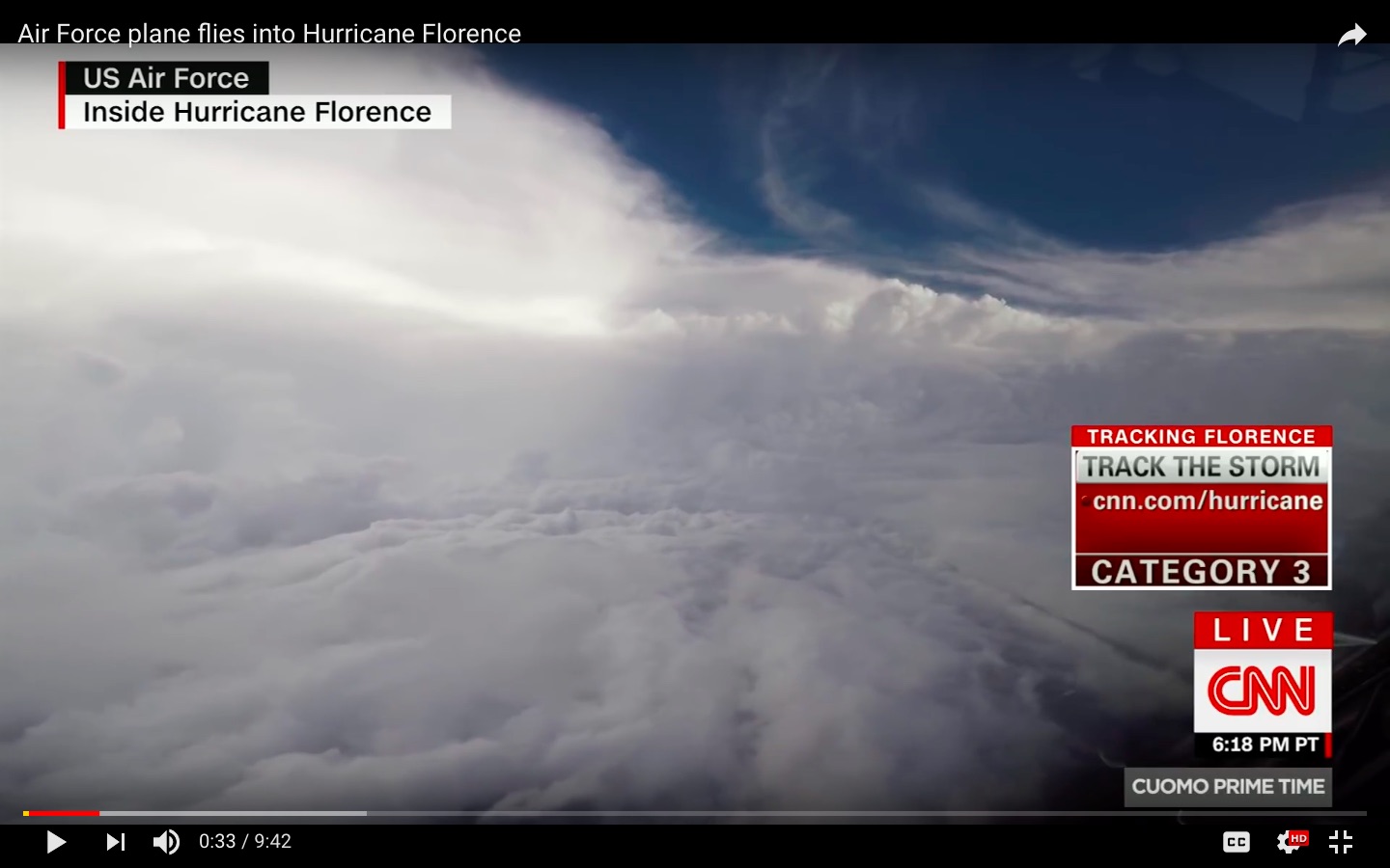
They fly straight through, as part of their mission to collect meteorological data about the storm, used for forecasting (NOAA's G-IV fleet flies the periphery of storms to collect data used to help predict the path of hurricanes). A typical path:
We'd begin by making a "figure 4," with the vertical and the horizontal legs crossing at the center of the eye.
This image shows the flight path taken during one observation of Hurricane Patricia in 2015 (from this blog post).
Wikipedia has information about "hurricane hunter" operations, and Google produces many, many results about how these flights work, including videos (even an entire documentary series) and interviews with the crews that fly them. Here's a recent news story featuring an interview with an Aerial Reconnaissance Weather Officer who flew into Hurricane Florence.
The US Air Force's 53rd Weather Reconnaissance Squadron flies the WC-130 (a C-130 variant equipped with meteorological observation equipment and dropsonde deployment capability). Additionally, the National Oceanic and Atmospheric Administration flies a fleet of two WP-3D Orion aircraft (modified P-3 Orions) and one Gulfstream IV, which flies around the periphery of storms to collect weather data.
You can plot their exact flight paths on Google Earth, if you're so inclined.
The Hurricane Hunter Association's site also addresses this question in their FAQ:
Do you fly over the top of the hurricane? NO!!
The tops of a big hurricane can be over 50,000 feet high, and our planes could never get
up there (they can only go up to 30,000 feet). Besides, the weather
we're interested in is down at the bottom of the storm, where it will
affect the coastline it hits. For this reason, we fly in as low as
possible and still be safe. This altitude can be anywhere from 1,000
feet to 10,000 feet.
They also include an image of their typical "alpha" flight path, typically making four passes through the center of the storm.

