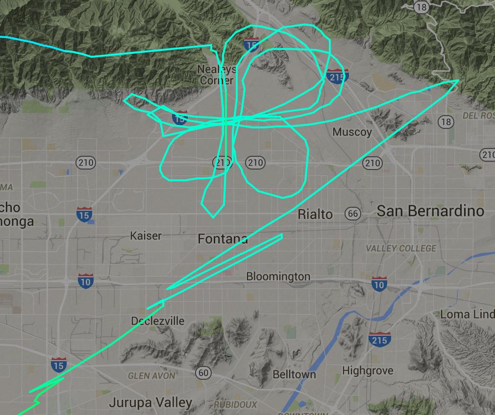
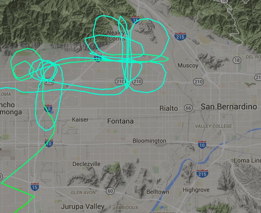
These are portions of two flights by a Cessna T206H on separate days:
The cloverleaf portion of the track was flown at around 8200 feet altitude. This plane is typically seen over the Los Angeles basin flying "lawnmower" patterns similar to those that might be used for sterile insect technique flights or aerial imagery collection flights.
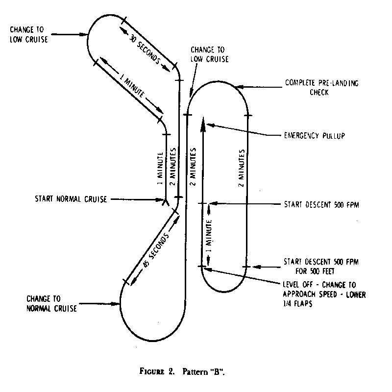
What is the significance of this pattern? Could it be for radio direction finding?
Edit: The aircraft is N915WC, which is registered to a company that specializes in supporting the intelligence community and law enforcement. I didn't mention that initially because I didn't want to bias people's answers, and I was curious if the pattern was distinctive enough to identify without that information.


