10
$\begingroup$

While randomly browsing on Google Earth and Bing Maps I found an airstrip in Mali.

Normally you assume a small village/mining site in the vicinity of the airport but other than the ruins of a supposed old settlement nearby I could not find anything.

Does anyone know the name of the airfield or any info why it is there? On Google Maps there is an image attached with an airplane (Beech King Air maybe) but not convinced it was taken there.

$\endgroup$
6
  • $\begingroup$ it looks like there are some ruins of an abandoned walled town nearby, as well as an older abandoned airstrip. Maybe something used by archeological expeditions? $\endgroup$
    – jwenting
    Commented Jun 10, 2020 at 12:06
  • 1
    $\begingroup$ I tried to search on other geographical tools but without luck for now. No labels, no insightful photos geolocated nearby. Now I'm more and more curious. $\endgroup$
    – Manu H
    Commented Jun 10, 2020 at 13:59
  • $\begingroup$ I can't provide much concrete information on the airstrip itself, but the King Air photo is one operated by Sahel Aviation Services within Mali. I know several individuals who worked for SAS and they have done a lot of work for the mineral industries in Mali. $\endgroup$
    – J W
    Commented Jun 16, 2020 at 17:59
  • 2
    $\begingroup$ This ENAGEO presentation also references the airstrip and its use in supporting the exploration process. $\endgroup$
    – J W
    Commented Jun 16, 2020 at 18:00
  • $\begingroup$ @JWalters: Nice find! I've added the information on the ENAGEO presentation to my answer. $\endgroup$
    – Jake
    Commented Jun 16, 2020 at 20:10

1 Answer 1

10
$\begingroup$

This seems to be the "Assedreme airport and seismic camp", according to Openstreetmap. Aviation Africa has a picture.

This is most likely a now disused airstrip for a base camp for seismic oil and gas exploration. Seismic exploration is a technique for searching for oil and gas deposits by measuring the reflection of artificial seismic waves (simple introduction at oilandgaslawyerblog.com).

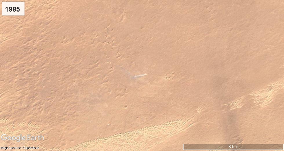
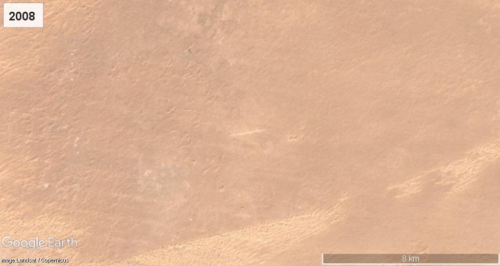
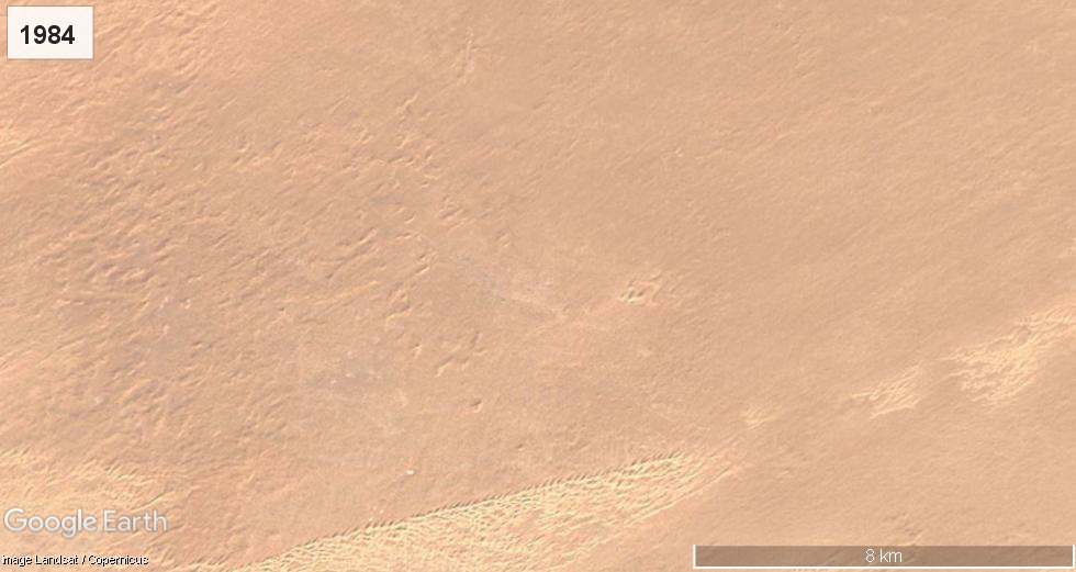
The airstrip seems to have been built in 1985, expanded in 2008, and then abandoned. This fits pretty well with an article describing exploration in Mali, which states that lots of seismic exploration was carried out in Mali in the 70's and 80's, with renewed interest in the 2000's.

As J Walters pointed out in a comment Algerian exploration company ENAGEO mentions using this airstrip for its operations in a presentation from 2009.

Location of Assedreme airstrip in 1984 Location of Assedreme airstrip in 1985 Location of Assedreme airstrip in 2008

$\endgroup$
6
  • $\begingroup$ Thanks Jake, really good find and really interesting why they need to do seismic "research" in the middle of the desert what is more it looks it was worth "building" an airstrip there so very likely they use it frequently eventhough not much information is available on the internet $\endgroup$
    – Bela Vizer
    Commented Jun 11, 2020 at 18:35
  • 2
    $\begingroup$ @BelaVizer: I've added some more information on the purpose of the airstrip. It's most likely for oil and gas exploration, not for scientific seismology. The strip seems to be disused by now. $\endgroup$
    – Jake
    Commented Jun 11, 2020 at 19:36
  • 3
    $\begingroup$ How in Zeus's abandoned outhouse did you ever find that!?!?!! I mean, I'm as big a map and imagery guy as the next, and lost 80% of my productivity the month Google Earth was publicly released. Heck, I was an all source intelligence analyst for a while, and scoured me some raw imagery on occasion. But in every case, there was something to look at. That looks like a close-up of a bowl of Cream of Wheat with a hair dropped on top! What ever compelled you to search in that empty wasteland for what looks like a cigarette butt? For the record, not all of Mali is a wasteland, but that part is! $\endgroup$
    – BigNutz
    Commented Jun 12, 2020 at 14:17
  • $\begingroup$ Annnd I just clicked through to the Bing Maps page in the OP. I can tell you without a doubt that airfield is periodically used by the French military as a Forward Arming & Refueling Point (FARP) as required to support operational rotary-wing assets. I've also seen fixed wing use it occasionally, but at the time I observed the activity identifying their intent was not a priority. $\endgroup$
    – BigNutz
    Commented Jun 12, 2020 at 14:23
  • 1
    $\begingroup$ @Jake We were looking at the airfield and surrounding area for some reason or another, I can't remember exactly why. We had a system which enabled us to only see those raw overhead imagery renderings where the AI detected a change which met a threshold for flagging. Back when the French were very active in Mali, that airfield was flagged a few times a month. I don't remember how often we assessed the activity as a FARP, but it was a couple times a month. $\endgroup$
    – BigNutz
    Commented Jun 17, 2020 at 0:46

You must log in to answer this question.

Not the answer you're looking for? Browse other questions tagged .