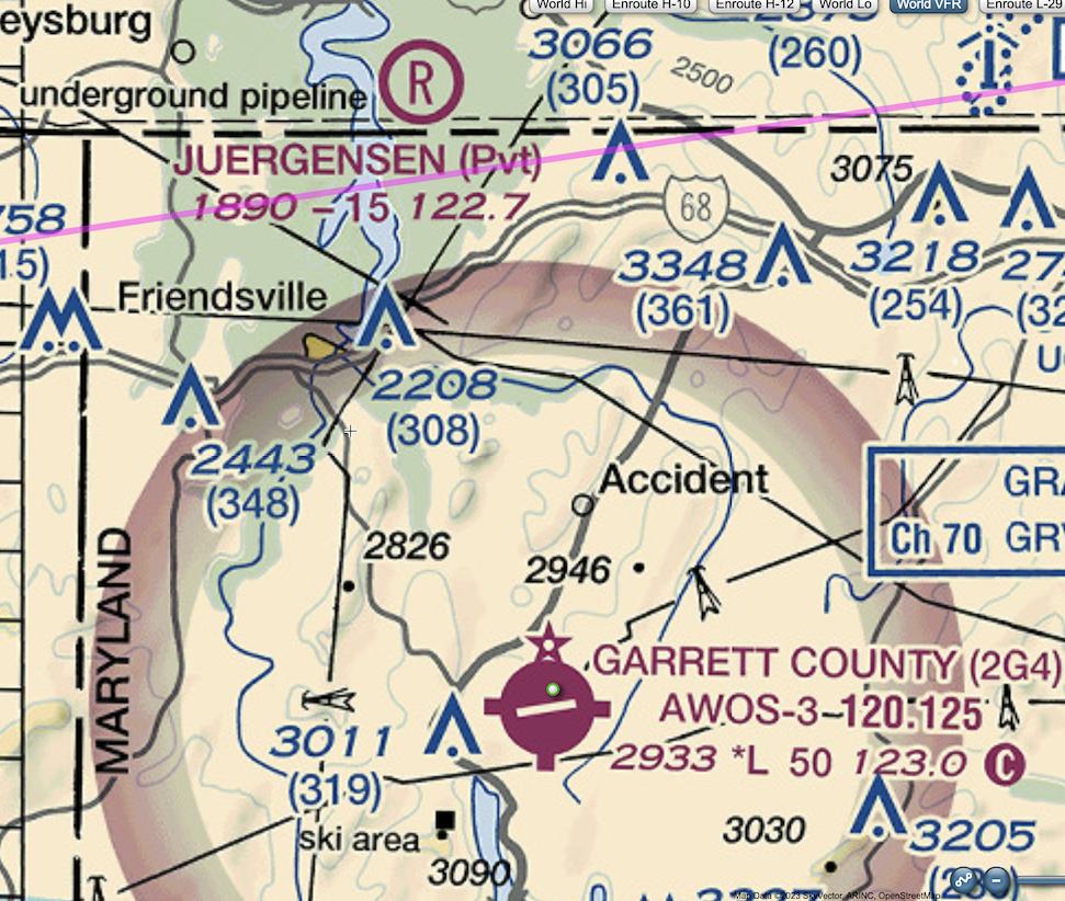
Seen on the map just north of 2G4 (Garrett Country Airport) is a dot labeled "Accident".
I never noticed something like that before, and didn't fly close enough to find out what it was. What kind of "accident" is the cartographer trying to draw my attention to? And what kind of accident would have the physical evidence endure for so long as to be a valid data point on the map?

