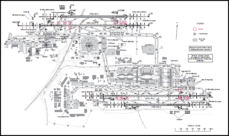
In the US, you can find this on the FAA's website here. You can search for a US Airport, and it will pull up a Airport diagram with Taxiways, Runup areas, and Runways on it.
I couldn't find an official guide for European airports, but this site has a detailed guide for CDG, among others, with a taxiway map being one component. They also have a similar guide for AMS. They do not have one for PRG. Keep in mind these are unofficial charts.

As Lnafziger noted, this site also has airport charts, including approaches. The downside is you must register (free) first to access them. You can read more in this answer.

