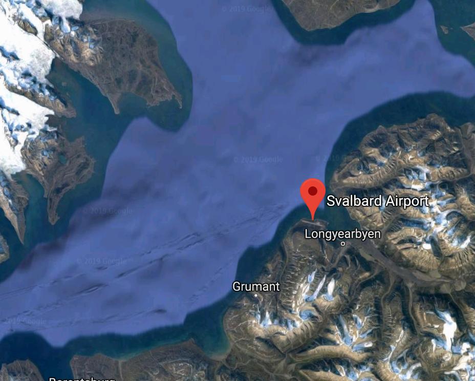
If you look at satellite imagery it looks like you have very high terrain to the West of the runway. The water would be the primary area available for a climb back to obstacle clearance altitude. Looks like the MAP just routes you with sufficient time to climb to the MA altitude.

Alexander G
- 340
- 1
- 1
- 7
