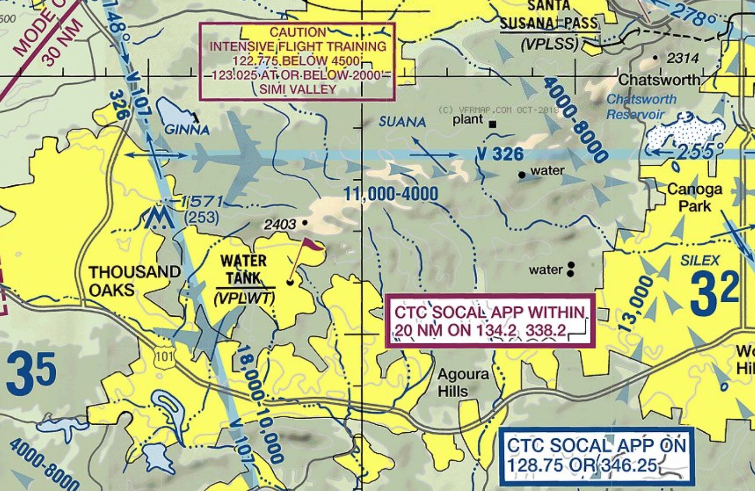
The tank is west of Oak Park (Oak Park Canyon), but there is some conflicting information about the exact coordinates of VPLWT.
From FAA JO 7350.8P:
34-10-49.0000N 118-46-16.0000W.
Converted into decimal degrees: 34.18028°N 118.7711°W
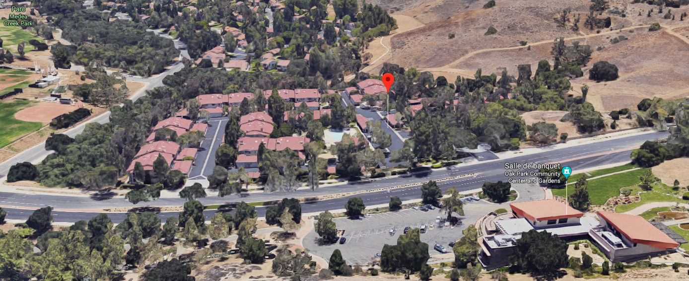
Google Maps
Obviously no tank here!
As @ymb pointed out, this document has been cancelled, and in the current version (JO 7350.9N), the coordinates have changed:
34-11-01.0000N 118-46-41.0000W.
Converted into decimal degrees: 34.18361°N 118.7781°W
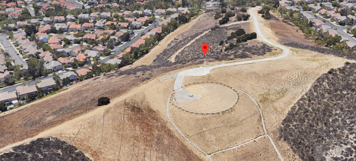
Google Maps
An underground tank, well visible from the sky. The tank itself is likely similar to this (it may be it, but not sure):
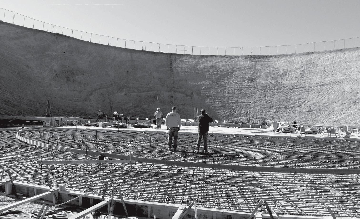
"Local officials recently toured and inspected the new Oak Canyon water tank under construction in Oak Park", source
Other tanks
There are also two external tanks in the neighborhood, but none corresponds to FAA coordinates, e.g. this one:
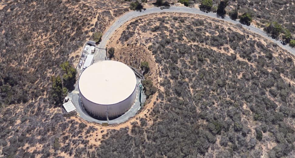
Google Maps
which is a bit north of the underground tank. Overall picture:
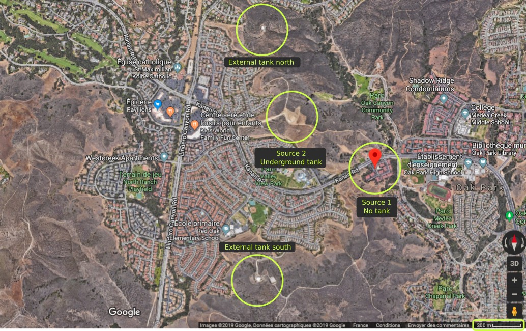
Google Maps
It seems FAA has not done a good job about this waypoint identification. While the current source identifies a tank, it should be mentioned this tank is underground, as this makes a difference.

