It looks like you have a few different questions here. As a caveat, I know nothing about Half Moon Bay so these are (educated) guesses to some extent. Someone with personal experience at KHAF could probably give better answers.
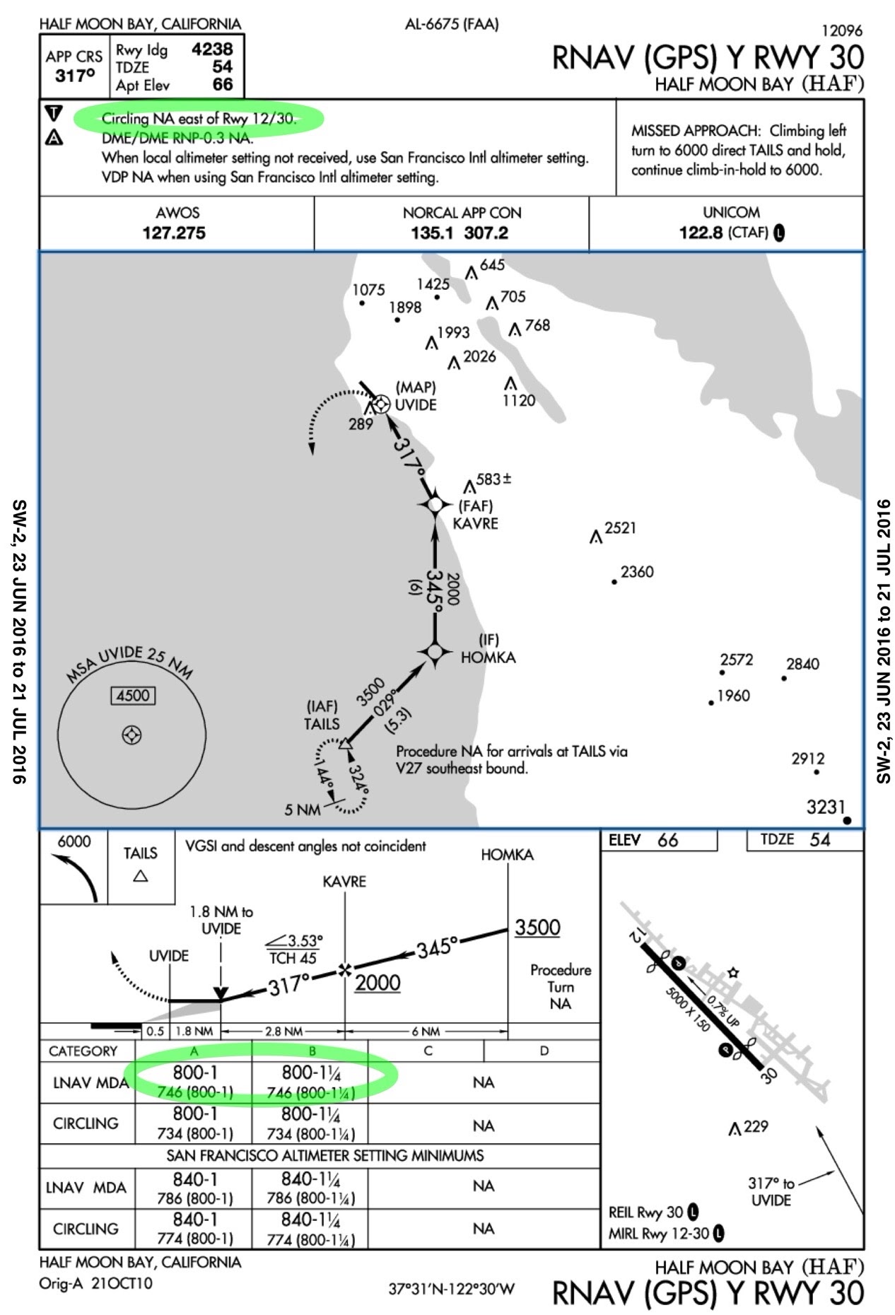
Why is circling always west of the runway at KHAF?
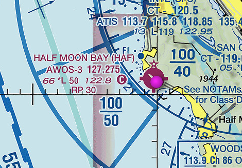
Circling areas are planned according to the TERPS criteria (see section 2-7-1); the formulas are in the document, but the basic idea is to make sure that there are no obstructions to circling within a certain distance of the runway. It looks very likely that at KHAF the terrain east of the field rises too sharply to allow safe circling there: the minimum allowed in the TERPS is 1.3nm/1.5sm/2.4km, and Google Maps shows that there's definitely rising terrain within that distance.
Why is the pattern always east of the runway at KHAF?
I don't know for sure. Noise abatement is obviously a concern at KHAF but then as you said, why not put the pattern to the west, over the ocean? The most obvious reason is that Half Moon Bay is in the Monterey Bay National Marine Sanctuary and flying over national parks below 2000' AGL is discouraged. Another possible reason is to avoid directing light, single-engine aircraft to fly over water unnecessarily.
Why - in general - would a certain area be used for the pattern but not for circling?
There's no reason why one area should always be suitable for both needs. In particular, circling requires guaranteed obstacle clearance within a certain distance from the runway. VFR pilots should be able to see and avoid, but obviously that assumption isn't possible for IFR. If you fly a circling approach at minimums then you might even go back into cloud while circling (and then go missed); in that scenario you really don't want to have to worry about terrain or obstacles being anywhere nearby.


