Practically speaking, Class E airspace can extend upward from any of the following three options:
- 0ft AGL. This is depicted by a dashed magenta line.
- 700ft AGL. This is depicted by a shaded magenta line.
- 1200ft AGL. This is depicted by... nothing. This is the default state of Class E airspace and so it is not specifically charted. (See note below.)
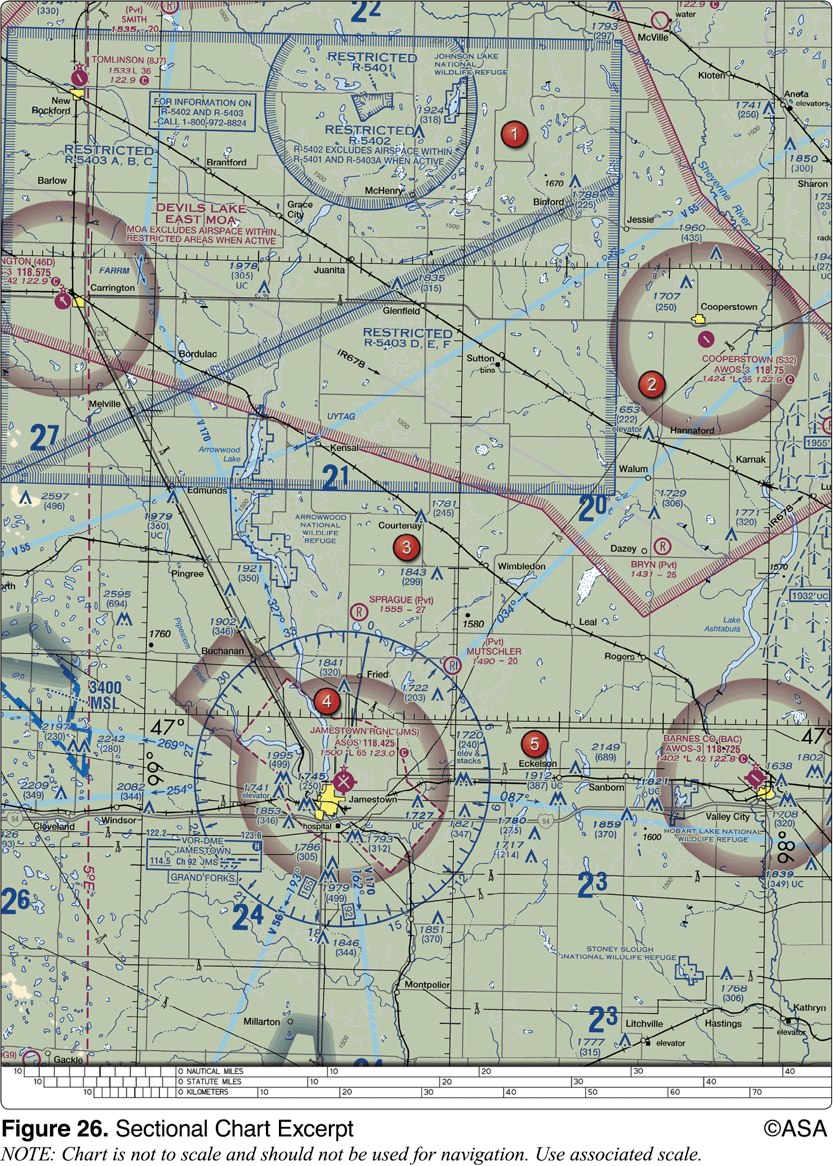
BAC is surrounded by a faded magenta line. This is the second possibility: Class E begins at 700' AGL. Therefore the airspace immediately above the surface (in fact, from the surface up to 699' AGL) must be Class G.
You know that Answer B is not correct because it says that the Class E extends up to 1200' AGL. This is not what Class E does. Wherever it starts, it extends upward from that point until it reaches a higher class of airspace, like a Bravo shelf. If there is no otherwise-charted airspace above it, it extends up to the beginning of Class A airspace at 18000' MSL. Also, Answer B says the Class E begins at the surface. That would be depicted by a dashed magenta line, as at JMS, not a faded magenta line.
The two magenta shaded lines on the sectional charts legends both indicate class E, but one refers to Class G and the other does not.
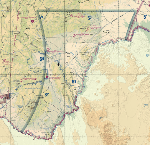
A simple faded magenta line depicts Class G from the surface to 700' AGL within the line, and Class G from the surface to 1200' AGL on the outside. If there is text "CLASS G" on the hard side of the magenta line, that means that the airspace on the hard side is Class G all the way up to 14500' MSL. See the note below, and see my answer to this question for an example. This is a very rare configuration.
In both cases, Class E airspace lies above the Class G airspace.
A note. Very technically the actual "default" for Class E is that it only extends upward from 14500' MSL. However there are so so so many areas where it is defined as going down to 1200' AGL that the real default is that 1200. They used to chart a blue shaded line around the entirety of the USA border to signify that fact, but these days they just say on the sectional "The default is 1200' and up." There are only one or two areas of true uncontrolled-up-to-14.5 airspace left in the contiguous US.


